A drainage drawing can be invaluable at the design stage, but it does not always tell the full story. Pipes may have been diverted, additional connections installed, access chambers buried or original survey information recorded with limited accuracy.
For engineers, designers and contractors planning works around existing drainage, understanding what is actually in the ground can help avoid unexpected clashes, redesign and unnecessary excavation. The key is to treat existing drawings as a starting point for investigation, not proof of current conditions.
Why drainage records and site conditions can differ
A drawing may show the intended route rather than the route finally constructed. Later alterations might never have been incorporated into the record. Where assets are inaccessible, assumptions about connections can also carry forward from one set of drawings to another.
This is particularly relevant on commercial, industrial and development sites with long drainage runs, multiple manholes or separate foul and surface-water systems.
What a practical drainage investigation can establish
The investigation scope should reflect what the design team needs to know. Depending on site constraints, a combination of methods may be appropriate:
- Manhole and access-point checks: identifying accessible chambers, pipe entries, flow directions and basic asset characteristics
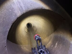
- CCTV drainage surveys: recording pipe runs and observations, including possible defects or restrictions
- Sonde tracing: providing additional evidence of a camera’s position or an underground route where tracing is feasible
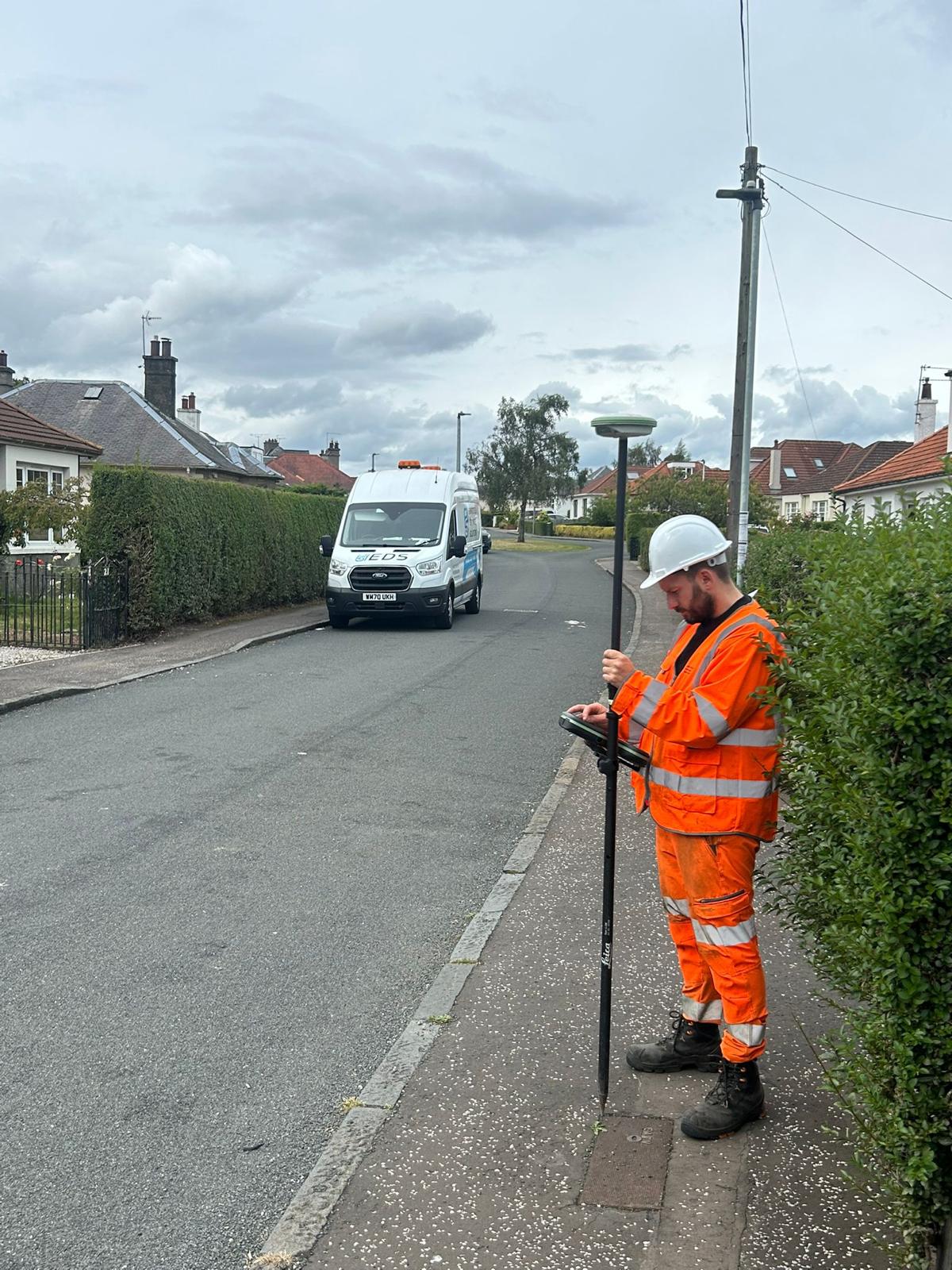
- GPS/GNSS surveying: recording accessible asset positions and, where appropriate, traced drainage routes
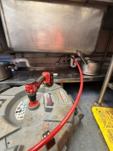
- Targeted cleaning: removing deposits that prevent a useful inspection where pipe condition and access permit
The resulting information can support drainage network investigations and design coordination. It should also identify what remains uncertain rather than give a false impression that every hidden connection has been verified.
Understand the limits of survey accuracy
A drainage survey report is strongest when it distinguishes directly observed assets from traced routes and assumed connections. Site conditions, satellite reception, access, available surface features and equipment limitations may affect the accuracy and completeness of any recorded mapping.
Before using the information for detailed design or excavation, the client should understand the survey method, coordinate reference, known limitations and whether further verification or safe excavation practices are needed.
What information should the engineer receive?
For larger scopes, useful deliverables can include annotated plans, asset references, CCTV footage, defect observations, relevant dimensions, recorded coordinates and a schedule of outstanding investigations. The right format should be agreed before the work starts, particularly where the drawings must feed into a wider design package.
Real examples of investigative drainage work
Our warehouse drainage mapping project in Livingston demonstrates the type of network investigation and asset-recording work carried out in a commercial environment. The 900 mm surface-water sewer CCTV survey at Cumbernauld is another example of gathering drainage condition information ahead of construction.
Discuss your pre-construction survey scope
Envirotech provides GPS and GNSS drainage mapping, CCTV drainage surveys and targeted investigations across Scotland.
If you have existing drawings, survey requirements or a pre-construction brief, email our team to discuss a suitable approach.