
GPS & GNSS Drainage Mapping Scotland
Accurate drainage asset mapping for commercial sites, developments and infrastructure projects. Using survey-grade GNSS equipment alongside specialist drainage investigation techniques, Envirotech records accessible manholes, chambers, pipe routes, connections and flow directions to create clear, usable drainage plans. Our surveys help clients understand existing drainage infrastructure, plan future works and reduce uncertainty before construction, maintenance or development begins.
Accurate Drainage Records for Better Project Decisions
Existing drainage information is often incomplete, outdated or unavailable. Covers may be missing from previous drawings, pipe routes may be uncertain and connections can change as buildings and sites are developed.
Our GPS and GNSS drainage mapping service establishes a clearer record of accessible drainage assets and confirmed network information. Survey findings can support project planning, maintenance, design, due diligence and future drainage investigations.
The completed information is presented in a practical format that can be used by property owners, facilities teams, engineers, consultants and construction professionals.
Drainage Assets We Can Survey & Map
- Foul-water networks
- Surface-water networks
- Combined drainage systems
- Manholes and inspection chambers
- Gullies, catchpits and channel drainage
- Interceptors, tanks and pumping assets
- Rodding eyes and access points
- Inlets, outfalls and discharge points
- Confirmed pipe routes and connections
- Direction of flow
- Pipe sizes and materials where identifiable
- Asset references and survey coordinates
- Cover and invert levels where included within scope
- Buried, inaccessible or unconfirmed assets requiring further investigation
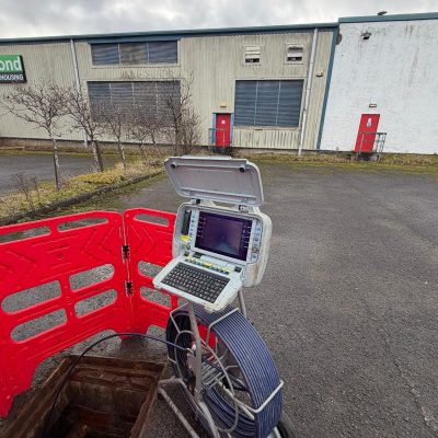
Combining GNSS Positioning with Drainage Investigation
GPS is part of the wider Global Navigation Satellite System, commonly known as GNSS. Survey-grade GNSS equipment can provide more suitable positioning data for professional asset mapping than standard handheld GPS devices. Our approach to GNSS surveying is informed by recognised industry guidance, including the RICS guidance on the use of GNSS in land surveying and mapping, covering areas such as positioning accuracy, coordinate systems and survey quality control.
Satellite positioning is combined with practical drainage investigation methods to establish a more complete understanding of the site. Depending on the project requirements, this may include manhole inspections, flow observations, dye testing, sonde tracing and a review of existing drawings.
CCTV surveying can also be incorporated where internal pipe condition, connectivity or defects must be confirmed. Where required, this is clearly defined as part of the project scope rather than assumed to be included within every mapping survey.
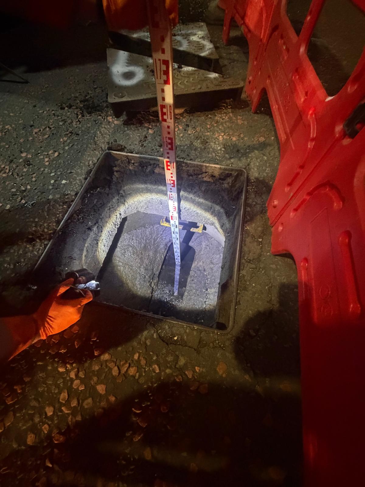
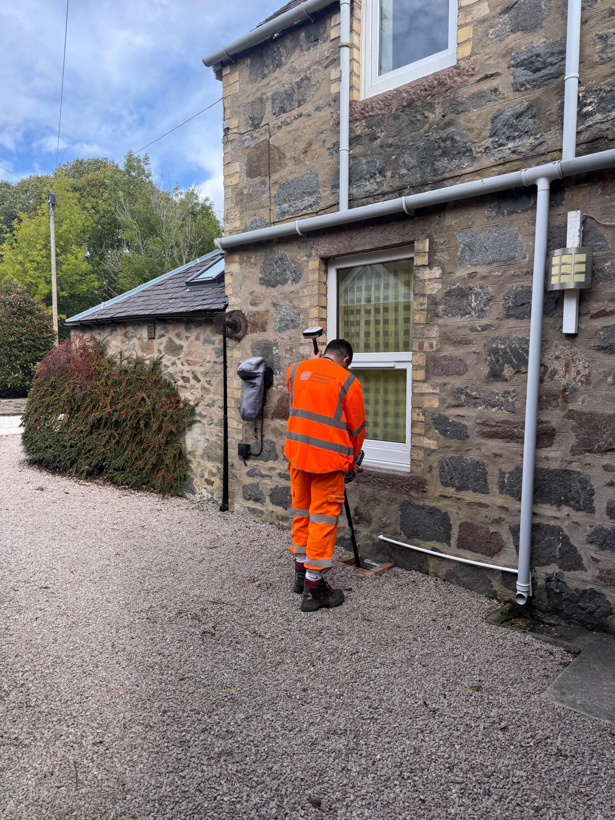

Sonde Tracing & Underground Drain Locating
Where underground pipe routes cannot be confirmed visually, Envirotech can use specialist sonde transmitters and electromagnetic locating equipment to trace drainage from the surface.
A sonde is passed through accessible pipework using a camera system, push rod or other suitable traceable equipment. The transmitted signal is then detected above ground using a specialist receiver, allowing the route, direction and, where conditions allow, approximate depth of the drain to be established. This type of drainage tracing is consistent with recognised industry techniques described in Radiodetection guidance on locating sondes, including the tracing of underground pipes, ducts, sewers and drains.
The information gathered can then be combined with GPS/GNSS survey data, CCTV findings and site observations to help produce a clearer and more accurate record of the existing drainage network.
Sonde and locator surveys can help:
- Trace buried foul and surface-water drainage
- Confirm the direction and approximate route of pipework
- Locate hidden connections and changes in direction
- Identify the surface position of blockages, defects or collapsed sections
- Support targeted excavation and repair planning
- Mark drainage routes before construction work
- Record traced route points as part of the GNSS survey
- Investigate discrepancies within existing drainage drawings
Where suitable, depth indications can also be recorded. These readings are treated as indicative because accuracy can be affected by signal strength, ground conditions, pipe depth, surrounding utilities and electromagnetic interference.
The located points can then be recorded using GNSS equipment and incorporated into the final PDF or CAD drainage plan, creating a more useful representation of the confirmed underground network
Dye Testing & Flow Confirmation
Where drainage connections or discharge routes are unclear, dye testing can help confirm how accessible drains, gullies, rainwater outlets and internal fixtures connect to the wider drainage network.
A suitable tracing dye is introduced at a selected point and flushed through the system. Downstream manholes, chambers and outfalls are then monitored to identify where the dye appears. Dye testing can assist with:
- Confirming the direction of flow
- Identifying foul and surface-water connections
- Establishing which manhole or outfall receives the flow
- Tracing connections between buildings and external drainage
- Investigating suspected cross-connections or misconnections
- Confirming rainwater discharge routes
- Supporting accurate GPS and GNSS drainage plans
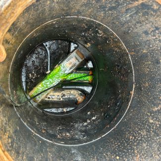
Where necessary, dye testing is combined with CCTV surveys, sonde tracing, visual inspections and GNSS data capture to provide a more complete understanding of the drainage system.
Test results are recorded as part of the survey findings. If dye is not observed downstream, further investigation may be required because dilution, standing water, restricted pipework or inaccessible chambers can affect the result.
Our Drainage Mapping Process
- Scope & Existing Information- We review the client’s requirements, available drawings, site boundaries and the intended use of the final drainage information. This allows the survey scope and required deliverables to be agreed before site work begins.
- Site Inspection and Asset Identification- Accessible manholes, chambers, gullies, access points and other relevant drainage assets are located and inspected. Existing references are checked and new references can be assigned where required.
- Connectivity and Route Investigation-Visible connections and directions of flow are recorded. Where routes or connections remain uncertain, further investigation may be carried out using dye testing, sonde tracing, CCTV equipment or other appropriate methods
- GNSS Data Capture– The position of each accessible asset is recorded using survey-grade GNSS equipment. Additional information such as asset type, condition, pipe details, cover levels or invert levels can be recorded where included within the scope.
- Data Processing and Deliverables– The site information is reviewed and converted into clear drainage records. Any inaccessible areas, assumptions or unconfirmed connections are identified so the limitations of the survey are understood.
Drainage Mapping Deliverables
Deliverables are tailored to the agreed project requirements and may include:
- Clearly referenced drainage assets
- Survey coordinates for accessible assets
- Foul, surface-water and combined network identification
- Confirmed pipe routes and connections
- Direction-of-flow information
- Pipe sizes and materials where confirmed
- Cover and invert levels where measured
- Manhole and chamber information
- Site photographs
- Investigation notes
- Unconfirmed or inaccessible sections
- Annotated PDF drainage plans
- CAD-compatible drainage drawings where required
- Recommendations for further investigation
Commercial Properties & Facilities Management
Reliable drainage records allow facilities and property teams to respond more effectively to blockages, maintenance requirements and future building works.
We can map drainage serving:
- Offices and commercial premises
- Retail parks and shopping centres
- Warehouses and industrial facilities
- Hospitality and leisure sites
- Healthcare and public-sector properties
- Multi-building and multi-site estates
- Car parks, service yards and external areas
Mapping can be combined with condition surveys or planned maintenance investigations where clients require both the location and internal condition of the drainage system.
Infrastructure & Asset Management
Our drainage mapping service can support consultants, contractors, developers and infrastructure clients requiring improved records of existing underground assets.
The information can assist with project planning, maintenance strategies, drainage investigations, planned upgrades and long-term asset management.
Where large or complex networks are involved, the work can be completed in phases, allowing priority areas to be investigated first and records to be developed systematically.
Unclear Records & Hidden Connections
Some sites have little or no reliable drainage information. Manholes may be buried, previous alterations may not have been recorded and connections may not follow the routes shown on older drawings.
Envirotech can carry out a structured investigation to identify accessible assets, confirm connections and establish a clearer understanding of the network.
Where a route cannot be fully confirmed, it will be shown as unverified rather than presented as fact. Further investigation can then be recommended using the most appropriate survey or tracing method.
Drainage Mapping Projects Across Scotland
Based in Bathgate, Envirotech supports drainage mapping and investigation projects throughout Scotland. Our central location allows us to serve projects across the Central Belt while also supporting clients in more remote locations when required.
Every project is assessed individually based on the site size, required outputs, access arrangements and level of investigation needed.
Frequently Asked Questions
What is GNSS drainage mapping?
GNSS drainage mapping uses satellite-positioning equipment to record the location of accessible drainage assets such as manholes, chambers, gullies and outfalls. The information is combined with drainage investigation findings to create clearer site records.
What is the difference between GPS and GNSS?
GPS is one satellite navigation system, while GNSS is the wider term covering multiple satellite constellations. GNSS equipment can use signals from several systems to support more reliable professional positioning.
Can you map drainage when no drawings are available?
Yes. Accessible assets can be identified and recorded during the site survey. Connections and pipe routes may then be investigated using visual inspection, dye testing, sonde tracing or CCTV equipment where required.
Does drainage mapping include a CCTV survey?
Not automatically. CCTV surveying can be included when pipe condition, connectivity or internal defects need to be confirmed. The CCTV scope and reporting requirements will be agreed separately.
Can you map foul and surface-water drainage?
Yes. Foul, surface-water and combined networks can be mapped where assets and connections are accessible or can be reasonably confirmed during the investigation.
What information will I receive?
Depending on the agreed scope, deliverables may include asset coordinates, references, pipe information, flow directions, photographs, PDF plans and CAD-compatible drainage drawings.
How accurate is GNSS drainage mapping?
Accuracy depends on the equipment, satellite conditions, surrounding buildings, vegetation and site access. Any limitations affecting the recorded data will be identified within the survey information.
Do you provide drainage mapping across Scotland?
Yes. Envirotech is based in Bathgate and carries out drainage mapping and investigation projects throughout Scotland.
Drainage Mapping & Investigation Projects Across Scotland
Whether you are planning a development, investigating an existing site or improving your drainage asset information, Envirotech can provide a mapping and investigation scope tailored to your project. Based in Bathgate, West Lothian, we support projects across the Central Belt and throughout Scotland, including more remote locations where required. Each project is assessed individually based on site size, access arrangements, required outputs and the level of investigation needed.