
Utilities & Infrastructure Drainage Services Across Scotland
Envirotech Drainage Solutions supports water-industry contractors, utility providers, civil engineering teams and infrastructure operators with specialist drainage surveys, investigations, cleaning and maintenance across Scotland.
We provide mainline CCTV sewer surveys, network investigations, GNSS asset mapping, confined-space services, network cleaning and repairs, with reporting agreed to suit the asset and project.
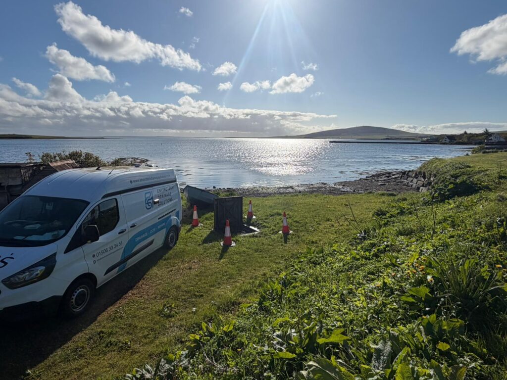
Specialist Support for Operational Drainage Networks
We support single-asset investigations and multi-site maintenance programmes across foul, combined and surface-water networks. Survey methods and reporting are tailored to site access, operating conditions, safety requirements and the relevant asset.
Water & Wastewater Network Support
Condition surveys and practical maintenance support for accessible sewers, chambers and drainage assets.
- Push-rod and mainline crawler CCTV surveys
- WinCan/MSCC5 reporting where specified
- Manhole inspection and asset identification
- Sonde tracing, dye testing and GNSS mapping
- Drain cleaning and obstruction removal
- Confined-space drainage works where required
Civil Engineering & Infrastructure Projects
Support for construction, infrastructure improvement and existing asset maintenance programmes.
- Pre-construction and post-works condition surveys
- Large-diameter CCTV sewer inspections
- Network route and connection verification
- Root and sediment removal
- Drainage repairs and rehabilitation
- Planned access and traffic management where required
Scotland's Drainage Infrastructure in Practice
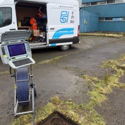
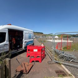
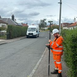
Reliable Information for Critical Drainage Assets
Buried infrastructure can be difficult to assess where plans are incomplete, access is restricted or pipework remains operational. Our investigations record observable condition, location evidence and survey limitations to support informed maintenance and engineering decisions.
Condition and Defects
CCTV footage, chainage and defect observations document the visible condition of accessible sewers.
Network Routes and Connectivity
Dye testing, sonde tracing and GNSS observations help identify accessible routes and connections.
Coordinated Delivery and Reporting
Records of completed work, findings, constraints and recommendations support utility and contractor teams.
Specialist Utilities & Infrastructure Drainage Services
Our engineering-led drainage services can be arranged individually or combined within an agreed survey, maintenance or rehabilitation programme.
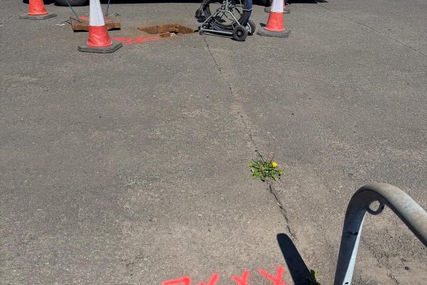
Identify accessible routes, chambers and connections with sonde tracing and GNSS asset observations.
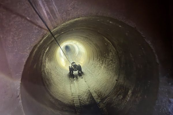
Inspect accessible sewer networks with push-rod and crawler cameras and provide footage, defect observations and reports.
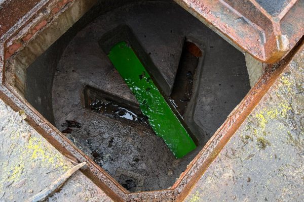
Combine CCTV, dye testing and tracing to investigate missing connections, unknown pipe routes and recurring problems.
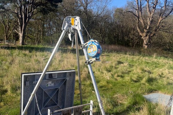
Specialist inspections of suitable restricted-access drainage assets under appropriate safe systems of work.
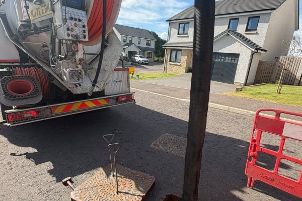
High-pressure water jetting and mechanical cleaning to remove sediment, roots, scale and other restrictions.
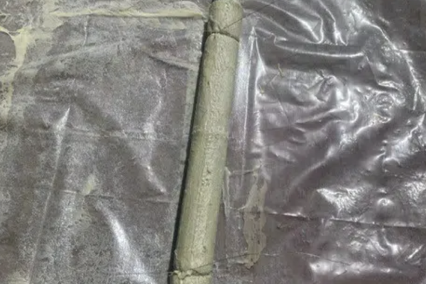
Targeted patch lining, relining, robotic cutting and excavated repairs for confirmed drainage defects.
A Controlled Approach to Infrastructure Work
We agree the scope, access arrangements, safety controls and reporting deliverables before work starts, adapting to operational site conditions.
Review the Asset and Scope
Review existing asset information, survey requirements, site restrictions and agreed reporting outputs.
Plan Access and Controls
Arrange appropriate equipment, traffic management or specialist access as required by the site.
Inspect, Clean and Record
Complete the agreed investigations, cleaning or repairs and record observable findings and constraints.
Report and Handover
Provide agreed footage, photographs, asset information and recommendations for follow-on action.
SuDS & Surface-Water Investigation Support
We can investigate accessible elements of sustainable drainage and conventional surface-water systems, including connecting pipes, catchpits, flow-control chambers and downstream outfalls. Surveys help identify visible restrictions, sediment, connection routes and maintenance issues.
What We Can Investigate
Accessible chamber and outfall inspections, CCTV surveys, sonde tracing, dye testing, mapping and observations of silt, roots, standing water and visible defects.
What Requires Separate Design Assessment
Field surveys supply factual findings but do not confirm hydraulic capacity, infiltration performance, SuDS design compliance or statutory approval. These remain matters for appointed designers and authorities.
Project Example: Scottish Water / Clancy CSO Cleaning & Maintenance
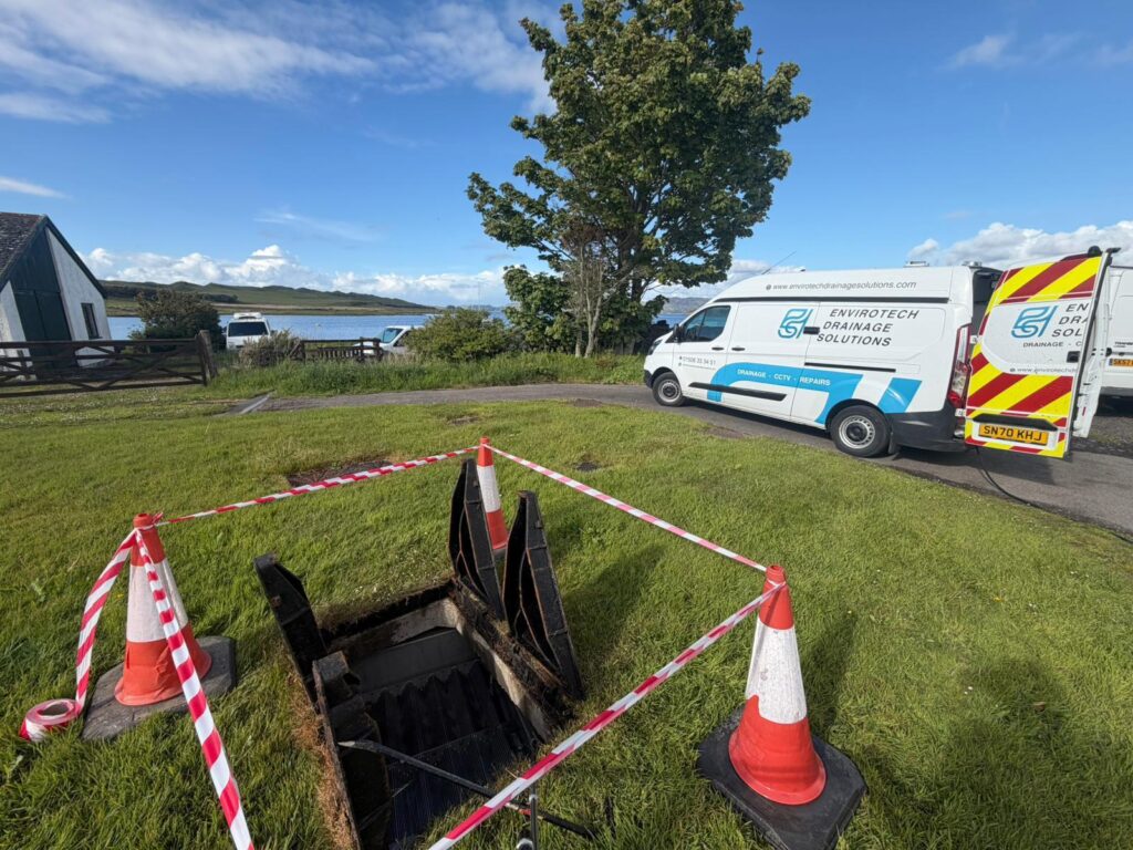
Envirotech supported Clancy on a combined sewer overflow (CSO) cleaning and maintenance programme for Scottish Water across Scotland, including remote mainland and island sites. Work was planned around access, operational conditions and the requirements of each asset.
Specialist drainage cleaning removed accumulated material from accessible areas, while completed works and observations were recorded for the wider project team. The programme demonstrates our ability to coordinate multi-location wastewater infrastructure work with consistent reporting.
View the Scottish Water / Clancy CSO cleaning and maintenance project.
Drainage Survey Data & Technical Reporting
We agree reporting requirements before mobilisation. Depending on scope, deliverables can include WinCan CCTV reports, MSCC5 observations where specified, survey footage, defect photographs, chainage references, chamber schedules, GNSS asset coordinates and annotated drainage drawings.
CCTV, WinCan and MSCC5 Reports
Record accessible pipe condition with survey footage, defect observations, chainage and supporting images for asset management decisions.
Asset Tracing, Mapping & Drawings
Route and connectivity findings, GNSS asset observations, approximate sonde depths and PDF or CAD drainage drawings where agreed.
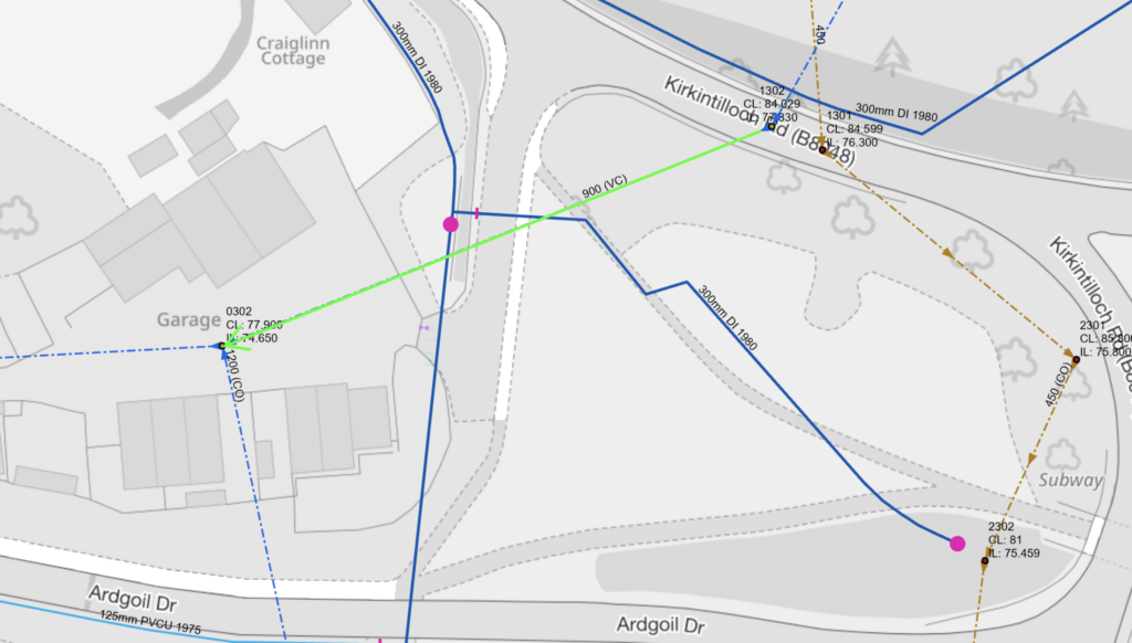
Surveyability depends on safe access, water levels, deposits, obstructions and equipment reach. We document incomplete survey sections and their limitations. Sonde-derived depths are approximate, and CCTV footage alone does not confirm hydraulic capacity, watertightness or structural design compliance.
Utilities & Infrastructure Drainage FAQs
Answers to common questions from water-industry contractors, utility operators and civil engineering teams.
Can you work on operational wastewater assets?
Yes. Subject to site access, safe systems of work and the agreed scope, we can support cleaning, inspection and investigations across operational foul, combined and surface-water systems.
Can you survey large-diameter sewers?
We use suitable crawler CCTV equipment to survey accessible large-diameter pipes, recording footage, pipe condition and observations. Access and flow conditions determine surveyability.
What records can infrastructure clients receive?
Depending on the scope, reports can include CCTV footage, WinCan condition observations, defect photographs, chainage, asset locations, drainage drawings and records of incomplete sections.
Need Drainage Support for Your Infrastructure Programme?
Email your project scope, asset information, site locations or survey specification. Based in Bathgate, we support utility and infrastructure clients with planned and reactive drainage work across mainland and island locations throughout Scotland.